saul hernández vargas
bio + contact
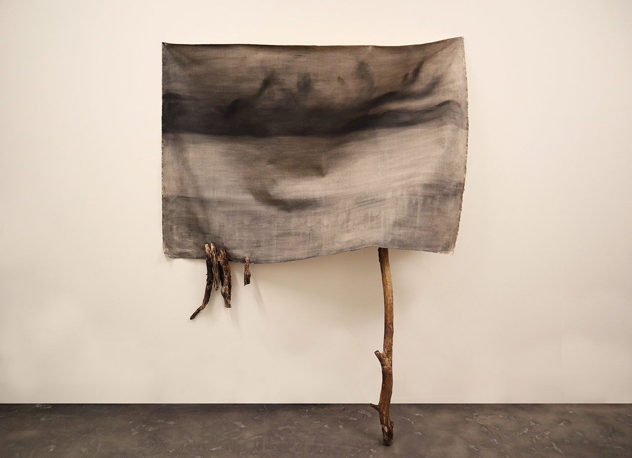
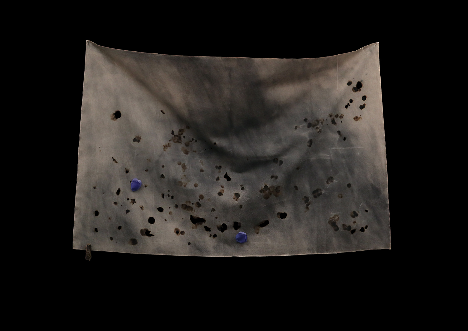
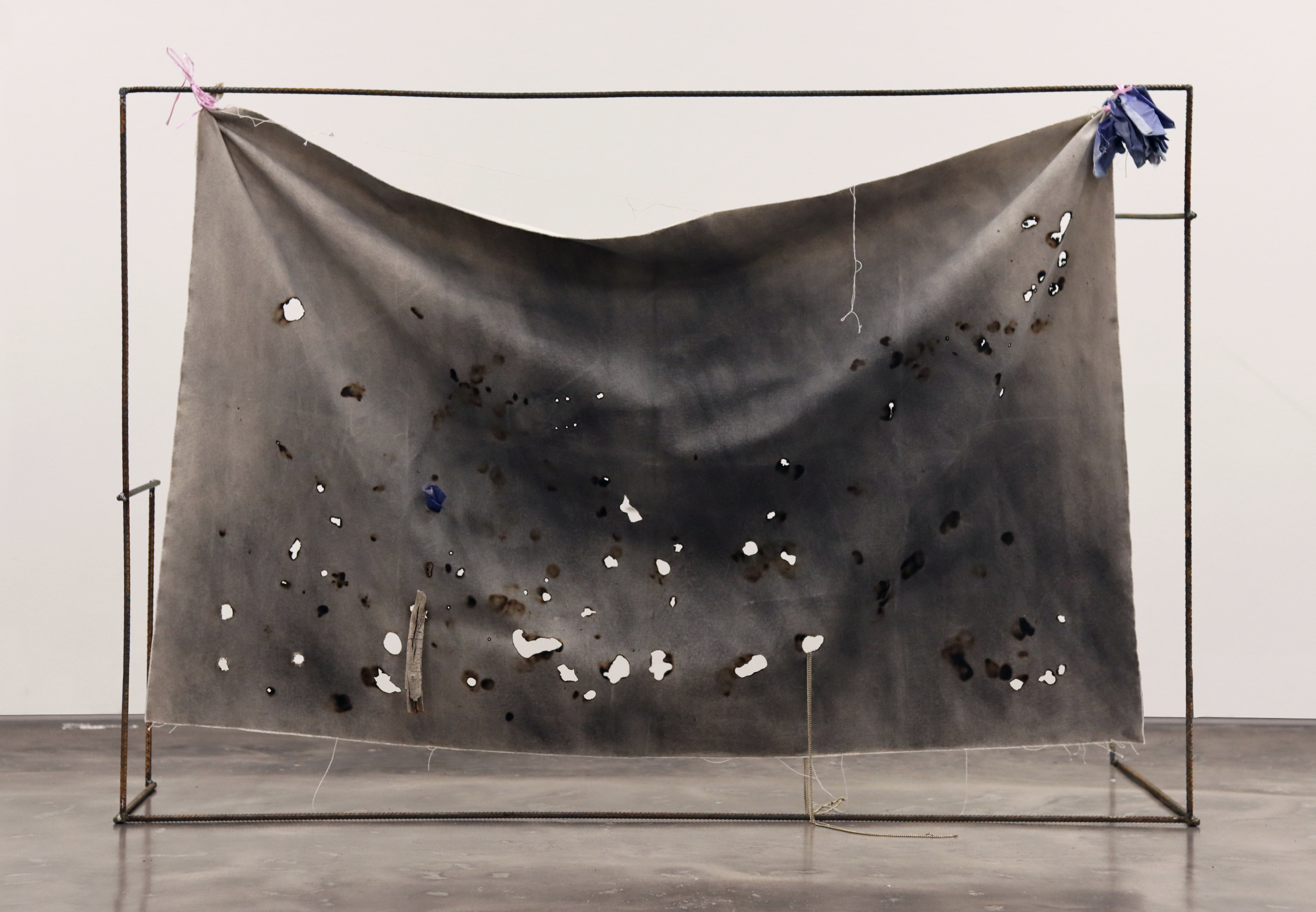
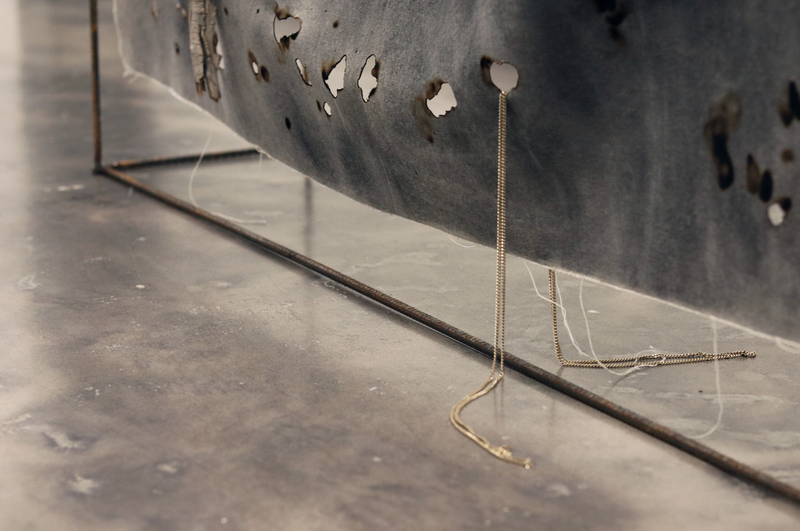
![]() inabarcable y afilada
inabarcable y afilada
ashes remain from
fireflies
and what was the desert like?
as it is in heaven
reflexiones sobre el cielo
three leagues from
alien cats
afilada radio
third lunar limb
piedra maternal primera
they come at night
cotton series
sol solaris
the boundaries of the earth
ellas mismas a punto de
otros ///
marcusse’s specter
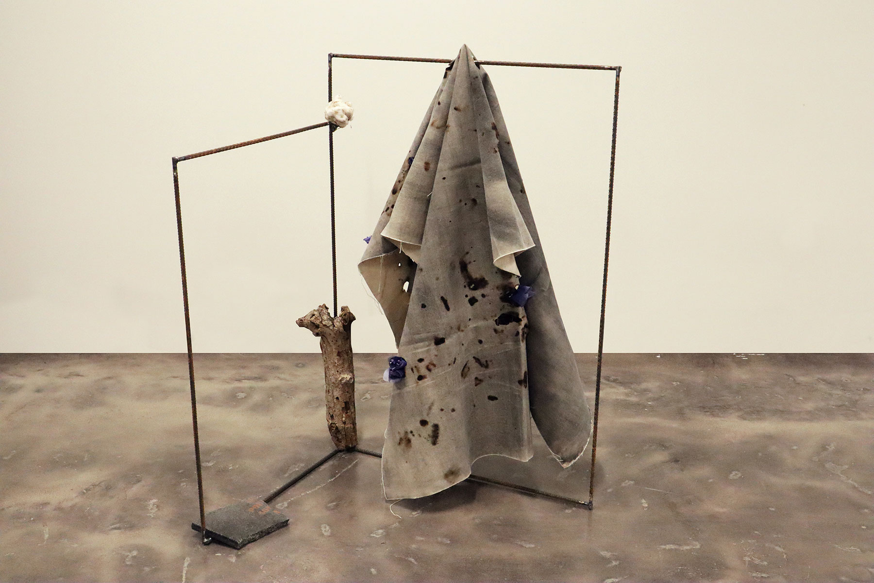
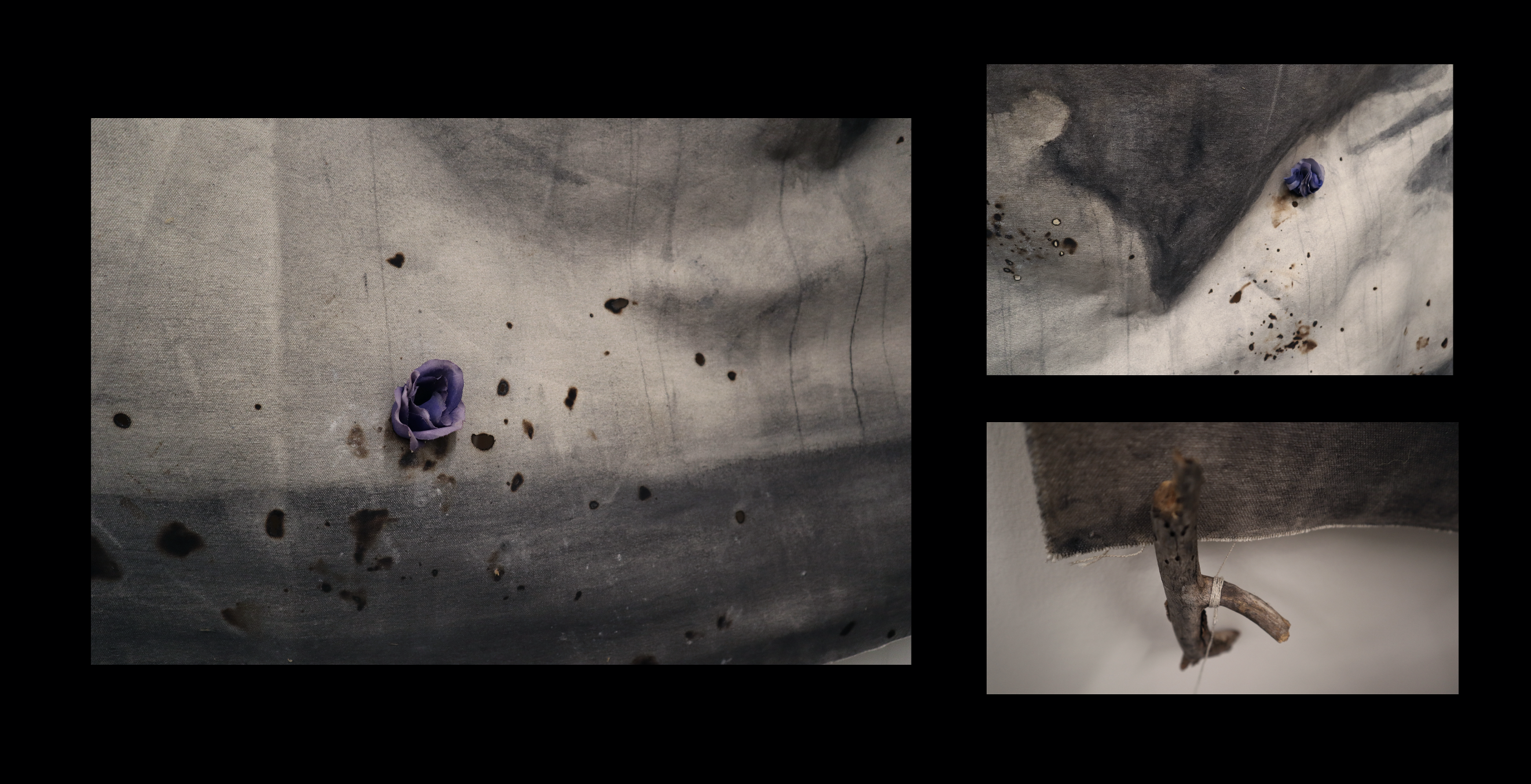
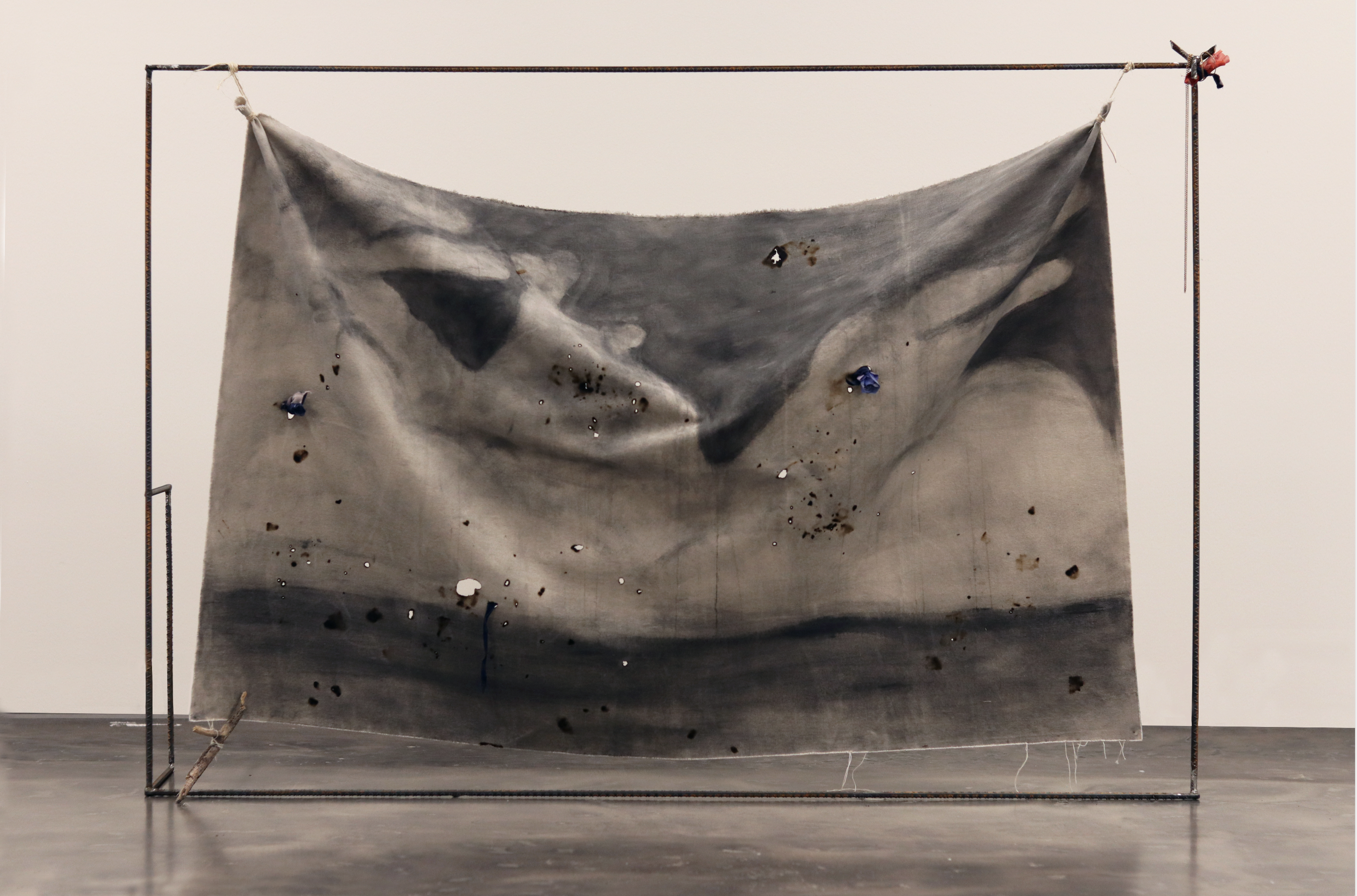
![]() cera perdida
cera perdida
cera perdida
temblor de tierra
no hay lengua humana que
palabras perdidas
xipe totec que llora
xipe totec pirata
nueve viento
macetas juárez
![]() otros proyectos
otros proyectos
textos (selection in Spanish)
el lugar del agua
edicionespatito.org
sur+ ediciones
revista yagular
hechoenoaxaca.org
dossier(2003-2013)
![]() litografía
litografía
impresor / instructor
![]() textos sobre
textos sobre


To set the US-Mexico borderline, the agents of the binational Commission of Limits created in 1848 used a variety of methods. One of them was based on a series of astronomical observations to find the coordinates previously described in legal and diplomatic documents such as the Treaty of Guadalupe. After that process, the sky became a surveying tool. These pieces explore the border skies, reclaiming them as "natural" spaces that don't have to follow instructions of the political-economical power.